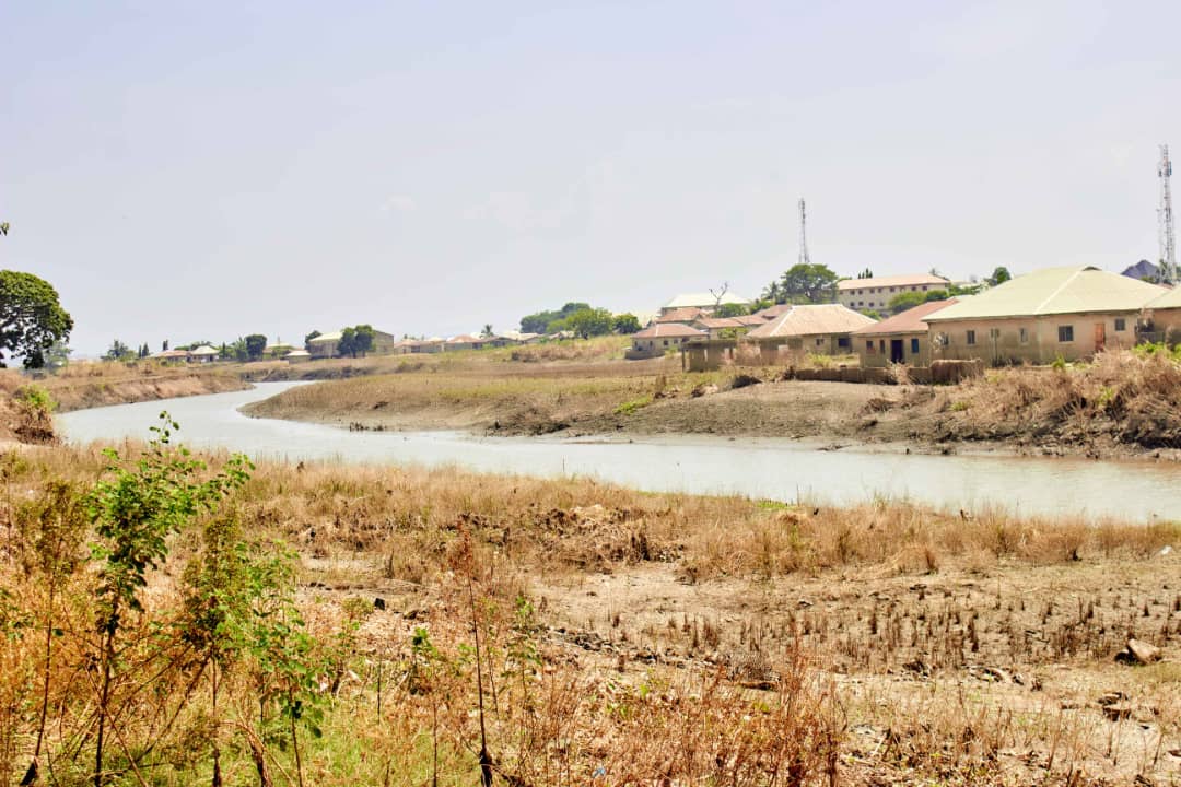
Worried by the devastating impacts of perennial flooding in Kogi State, the Geohazards Risk Mapping Initiative (GRMI), a nonprofit organisation, has launched a youth-driven Disaster Risk Reduction (DRR) programme to equip children and young people in the State with the knowledge and tools to lead their communities in flood preparedness and resilience-building.
This initiative is coming at a critical time for Kogi, a State vulnerable to flooding due to its location at the confluence of the Niger and Benue rivers. For instance, in 2022, Kogi State experienced one of the worst floods in its history, displacing over 471,000 people, submerging entire communities, and destroying critical infrastructure, including 92 healthcare facilities, according to the State Emergency Management Agency.
Established in 2020, GRMI is a non-governmental organisation dedicated to flood risk management, with a focus on the vulnerabilities of physical infrastructure, livelihoods, and ecosystems.
The Founder and Senior Project Lead at GRMI, Taiwo Ogunwumi, disclosed that the programme was designed to actively engage children and youth in flood awareness training, geospatial mapping, community response activities, and advocacy.
He said: “Our initiative is based on the idea that children and youth can be valuable contributors to flood preparedness if they are provided with the right knowledge, skills, and resources.
Through our DRR programme, participants gain critical skills in risk identification, mapping, and community engagement, positioning them as key players in safeguarding their communities against future disasters.”
According to him, the initiative aligns with global frameworks like the Children’s Charter for Disaster Risk Reduction and UNICEF’s Sustainability Climate Change Action Plan that advocate for youth participation in mitigating climate-induced disasters.
He added: “Children and youth are among the most vulnerable to the impacts of flooding and other climate disasters, yet they hold immense potential to drive meaningful change when equipped with the right tools.
By involving young people directly in DRR efforts, our organisation aims to bridge critical gaps in disaster preparedness while fostering a generation of resilient leaders.”
Ogunwumi further explained that the absence of up-to-date data on flood-prone areas has hampered effective disaster planning in the state. “To address this, we train young people to use geospatial mapping tools to identify flood-prone zones within their communities.
“Our programme’s hands-on approach not only equips young people with technical skills but also allows them to visualise the broader impact of flooding in their communities, and also empowers them to become key contributors to flood risk management efforts,” he noted.
The organisation leverages the expertise of youth volunteers skilled in geospatial analysis to identify flood-prone areas and implements solutions to safeguard communities, including their educational systems, from the devastating effects of extreme weather events.
Please follow and like us:


